
Real estate drone photography in Temecula
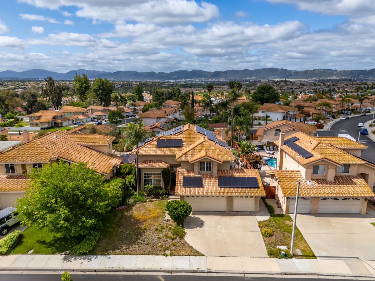
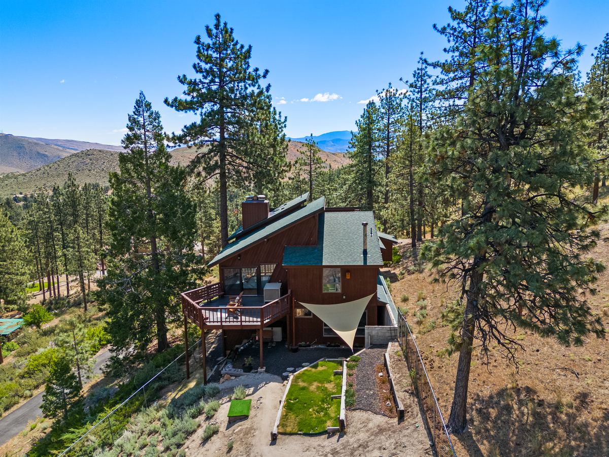
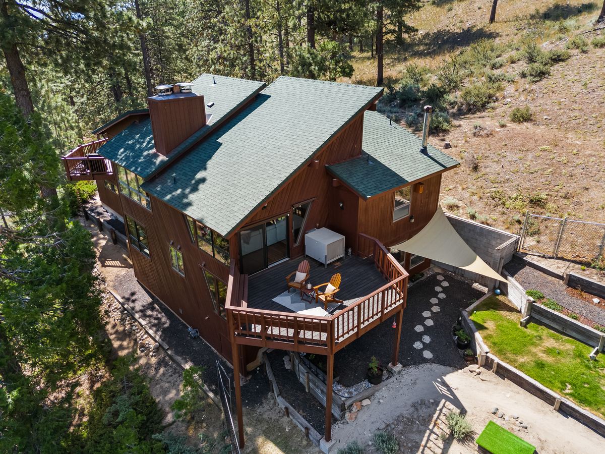
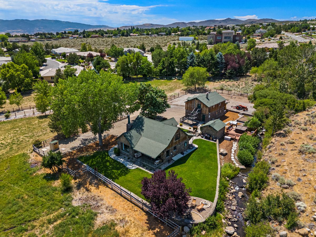
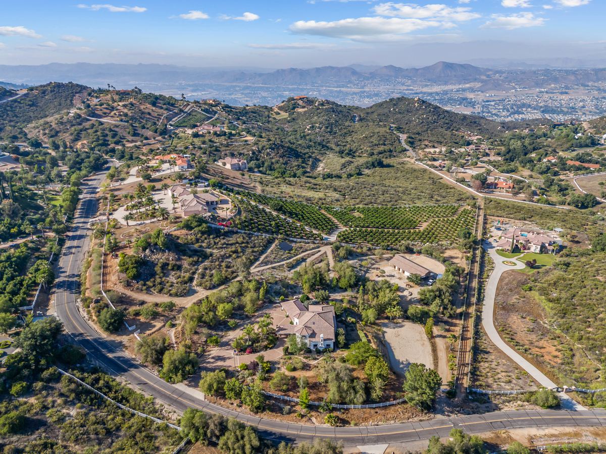
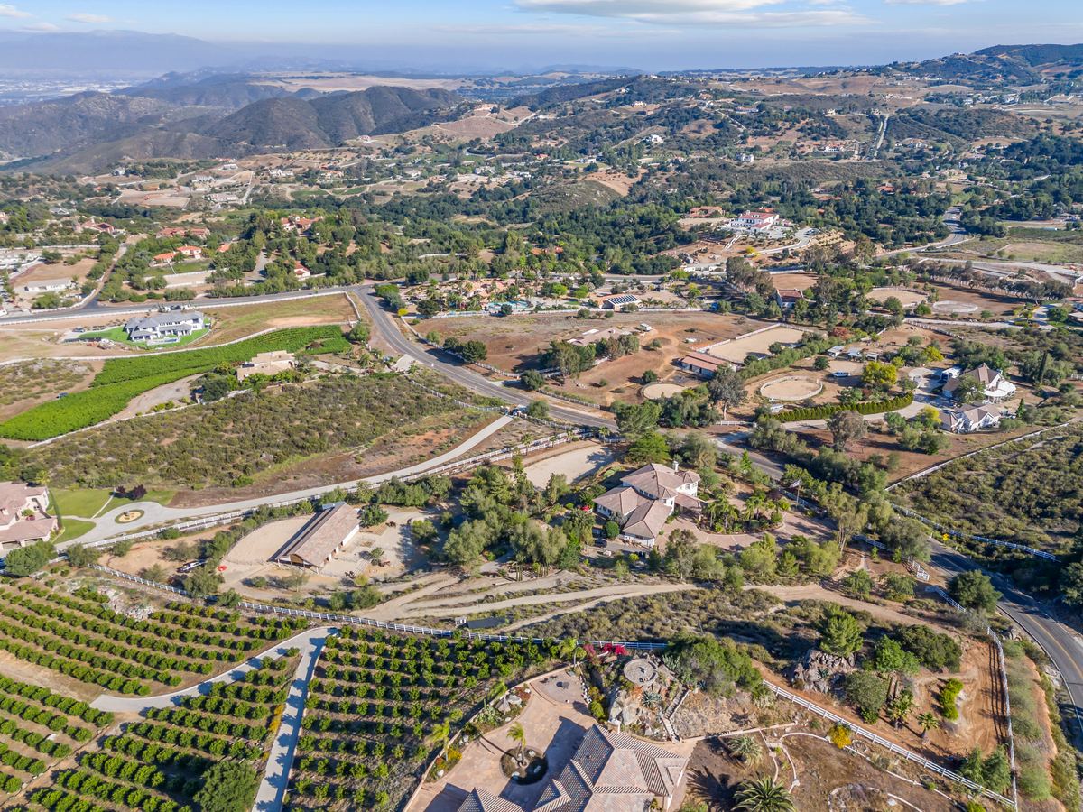
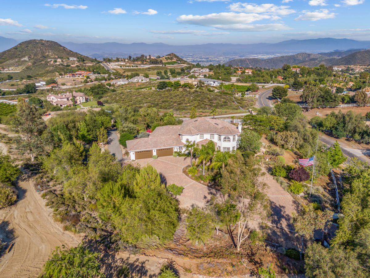
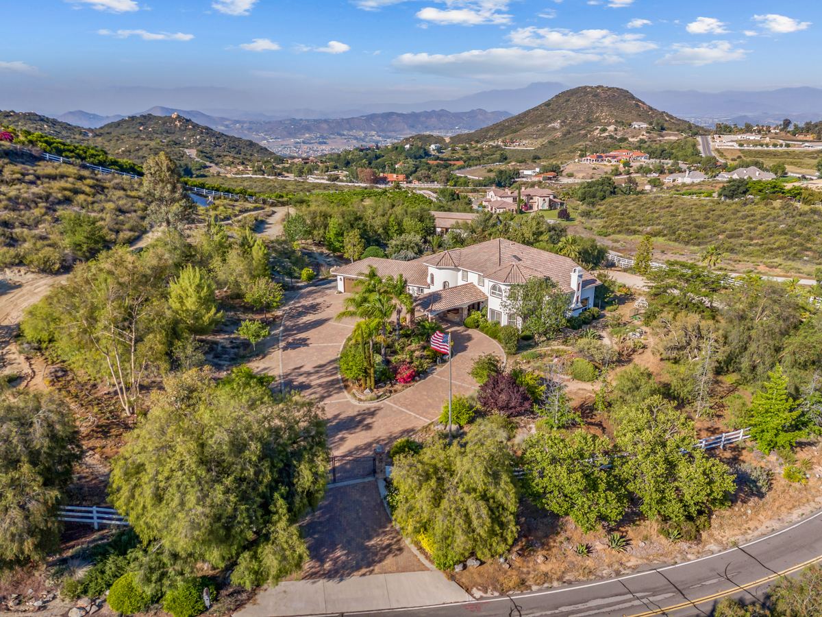
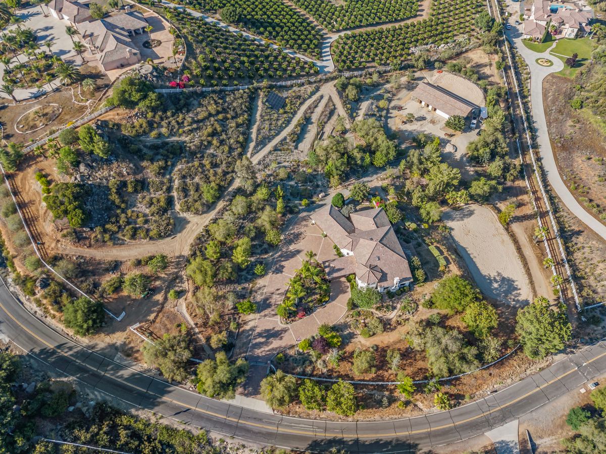
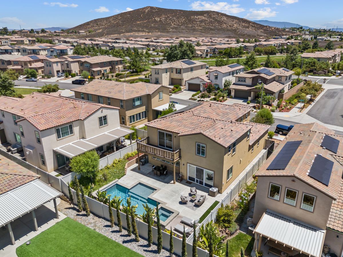
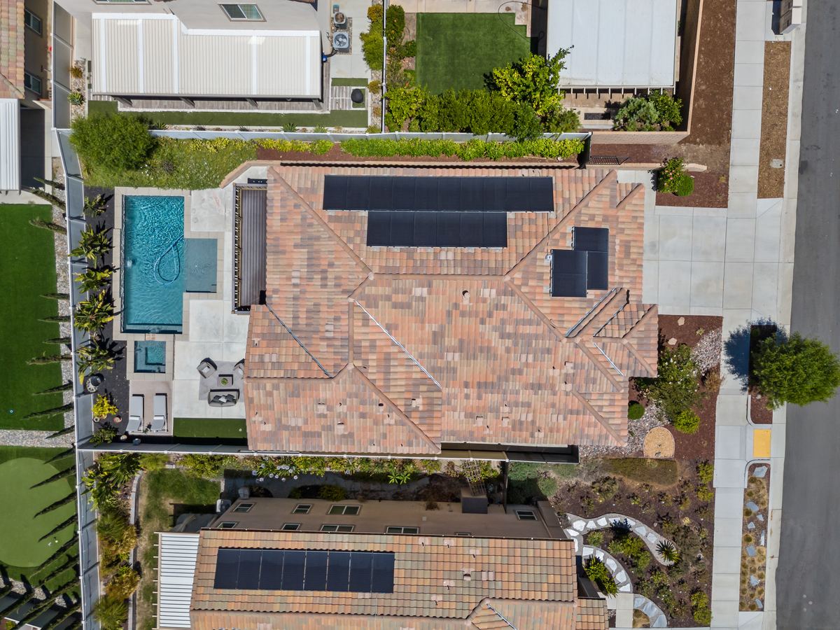
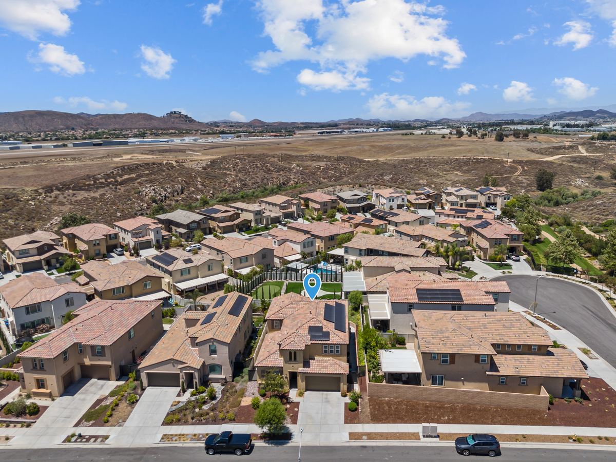
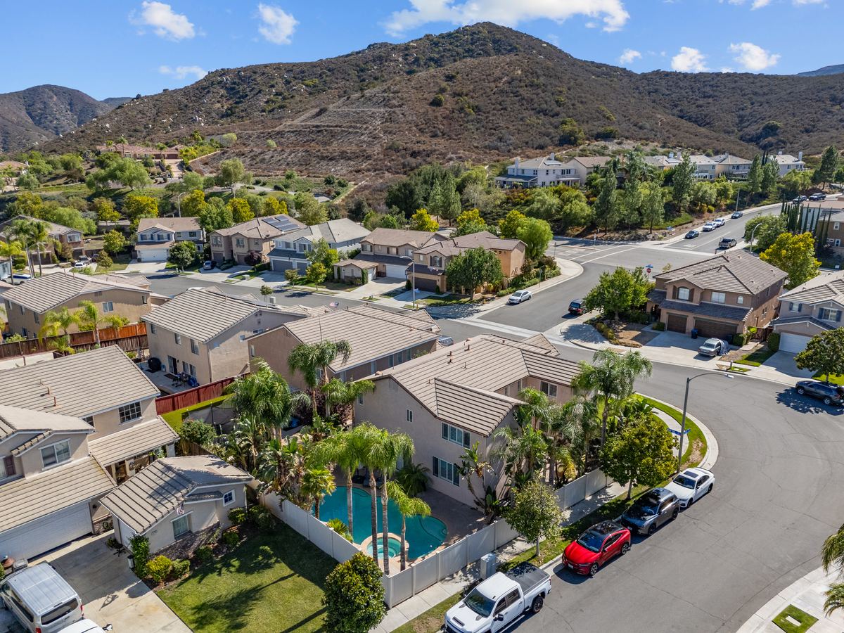
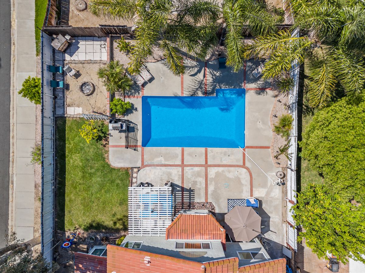
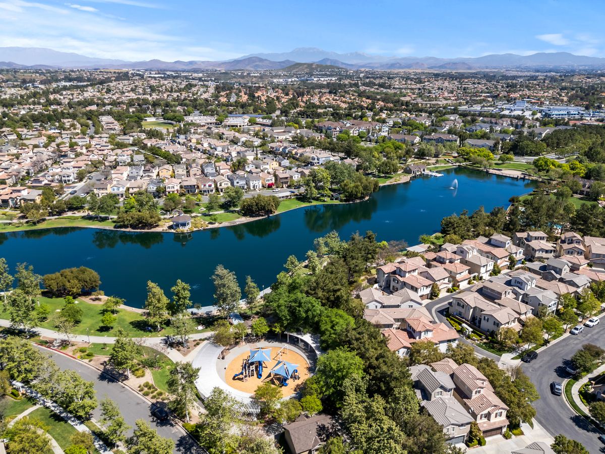
Aerial photos that show the lot, the pool, the views and how the home sits in its neighborhood. FAA Part 107 certified and insured.
Drone options
- With Listing Photosfrom $300Aerial photos are part of the Listing Photos package when the property and airspace allow it.
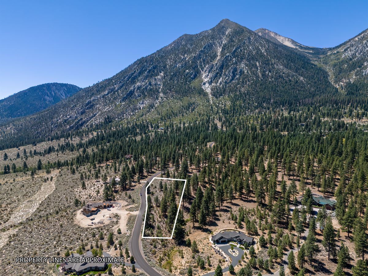
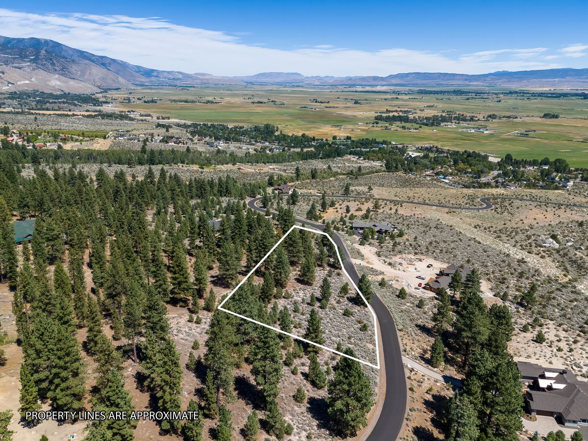
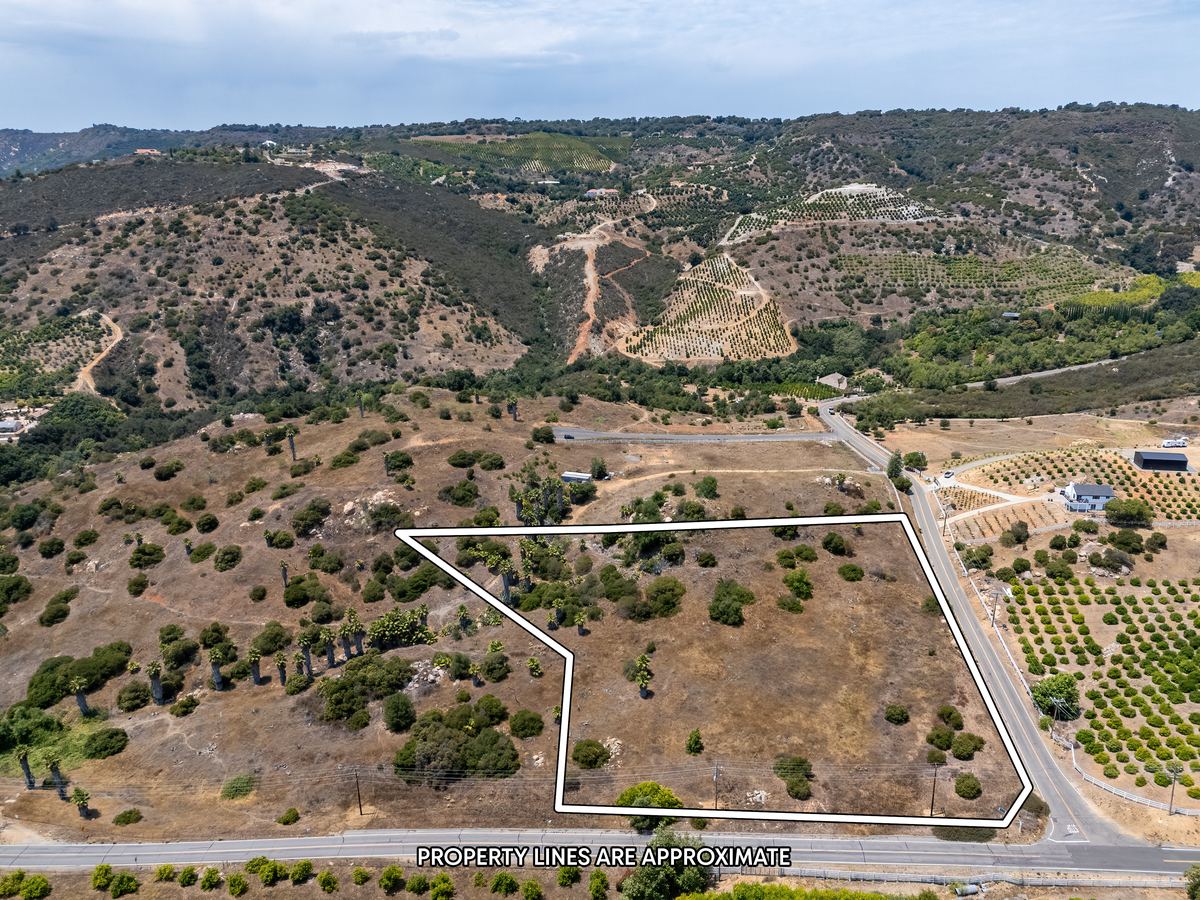
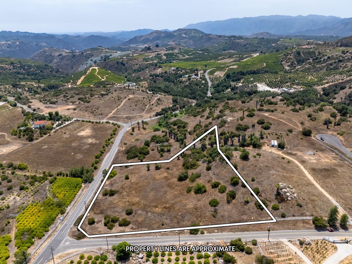
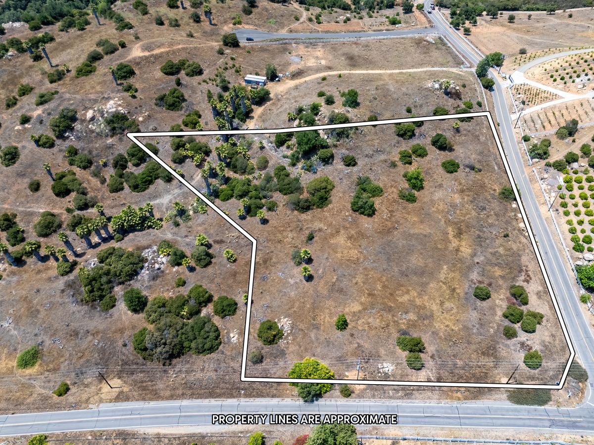
- Drone aerial photos only$250Up to 20 photos with property lines, for a vacant lot or a home under 50 acres.
- Land or property, ground and drone$300Up to 30 ground and aerial photos.
- Drone videofrom $300Aerial footage of the property and the area around it, with music.
What aerials show that ground photos can't
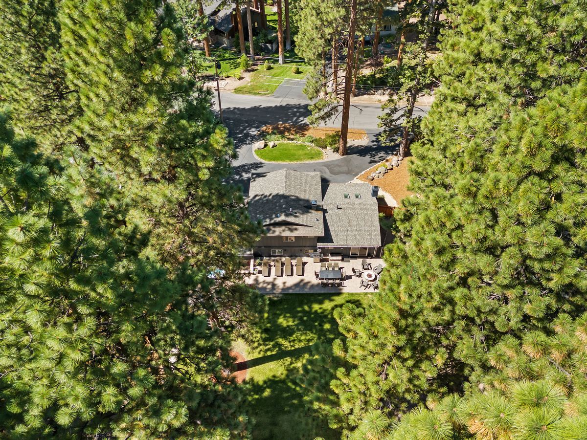
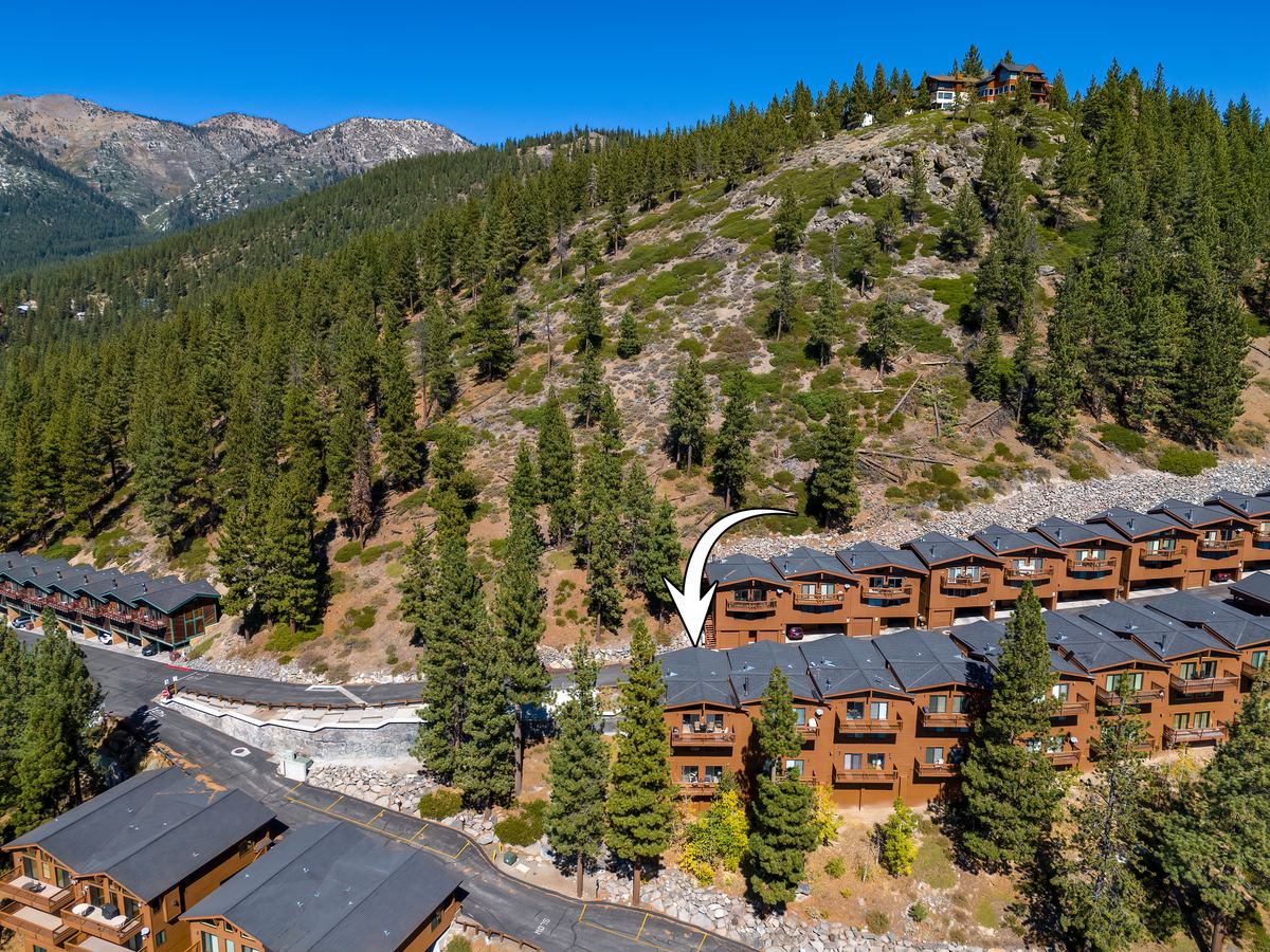
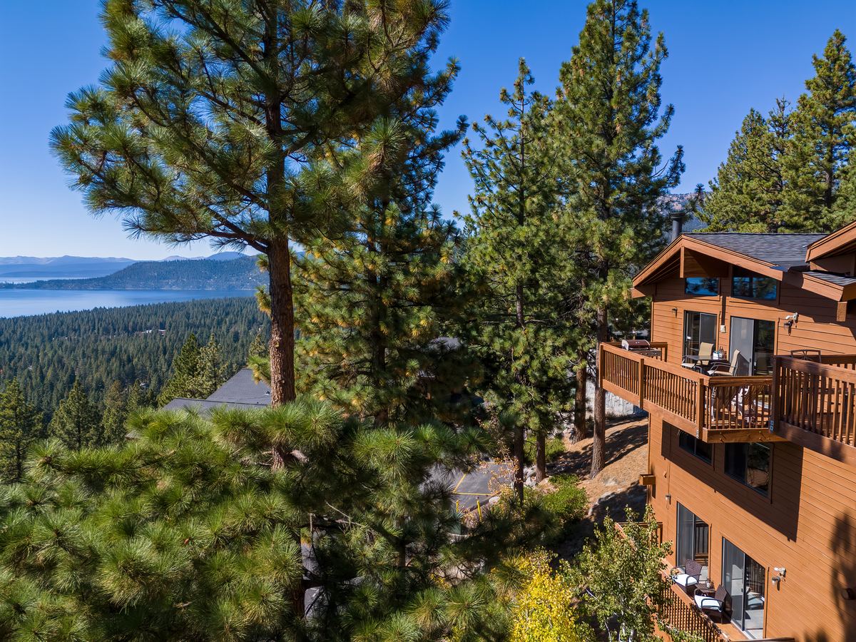
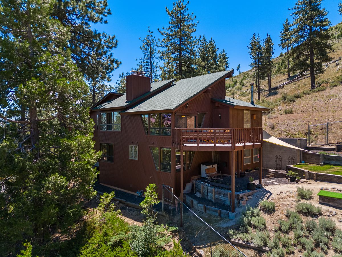
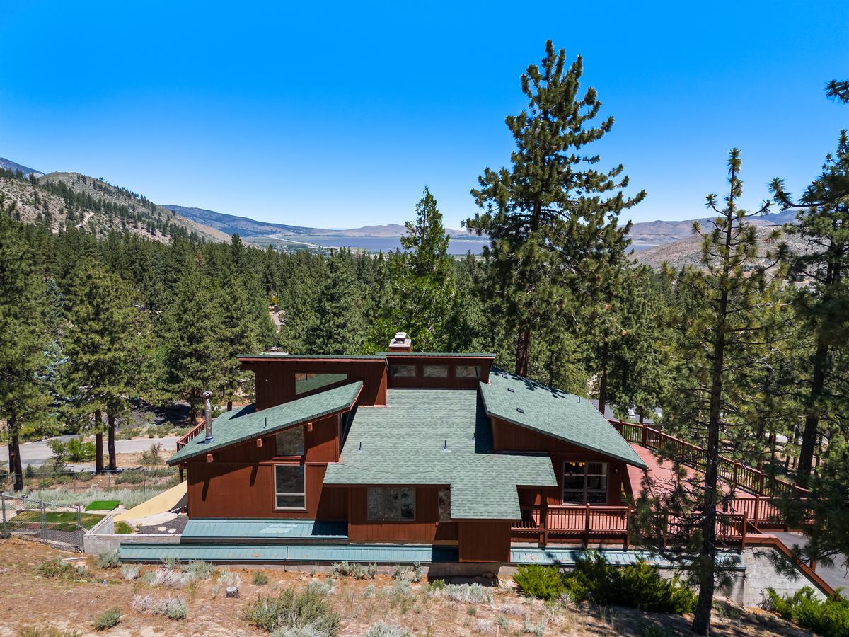
Lot size, the yard and pool layout, the view from the back of the house, and how close the home is to parks, lakes, hills and open space. Drone-only shoots include property lines, so buyers can see exactly what they get.
I check the airspace for every address before the shoot and get FAA authorization when it's needed. A few spots near airports and restricted airspace can't be flown, and I'll tell you before the shoot if that's the case.
Aerial photos are edited and delivered with your interior photos, usually the next day.
Aerial work
Drone questions
Are you licensed to fly commercially?
Yes. I'm FAA Part 107 certified and insured.
Can you fly near airports or in restricted airspace?
Many properties are fine. I check airspace before every shoot and get authorization when it's needed.
Can you mark property lines?
Yes. Drone aerial photos only, $250 for up to 20 photos, include property lines.
How fast do I get the photos?
Usually the next day.
How much does drone photography cost?
Listing Photos with aerial photos starts at $300 for homes up to 1,999 sq ft, and the price scales with square footage. Drone aerial photos on their own are $250 for up to 20 photos with property lines. Full pricing is at pricing.iolitevisuals.com.